LOCATION FILE
Systrastapi, Kirkjubæjarklaustur
Kirkjubæjarklaustur, Southern Region
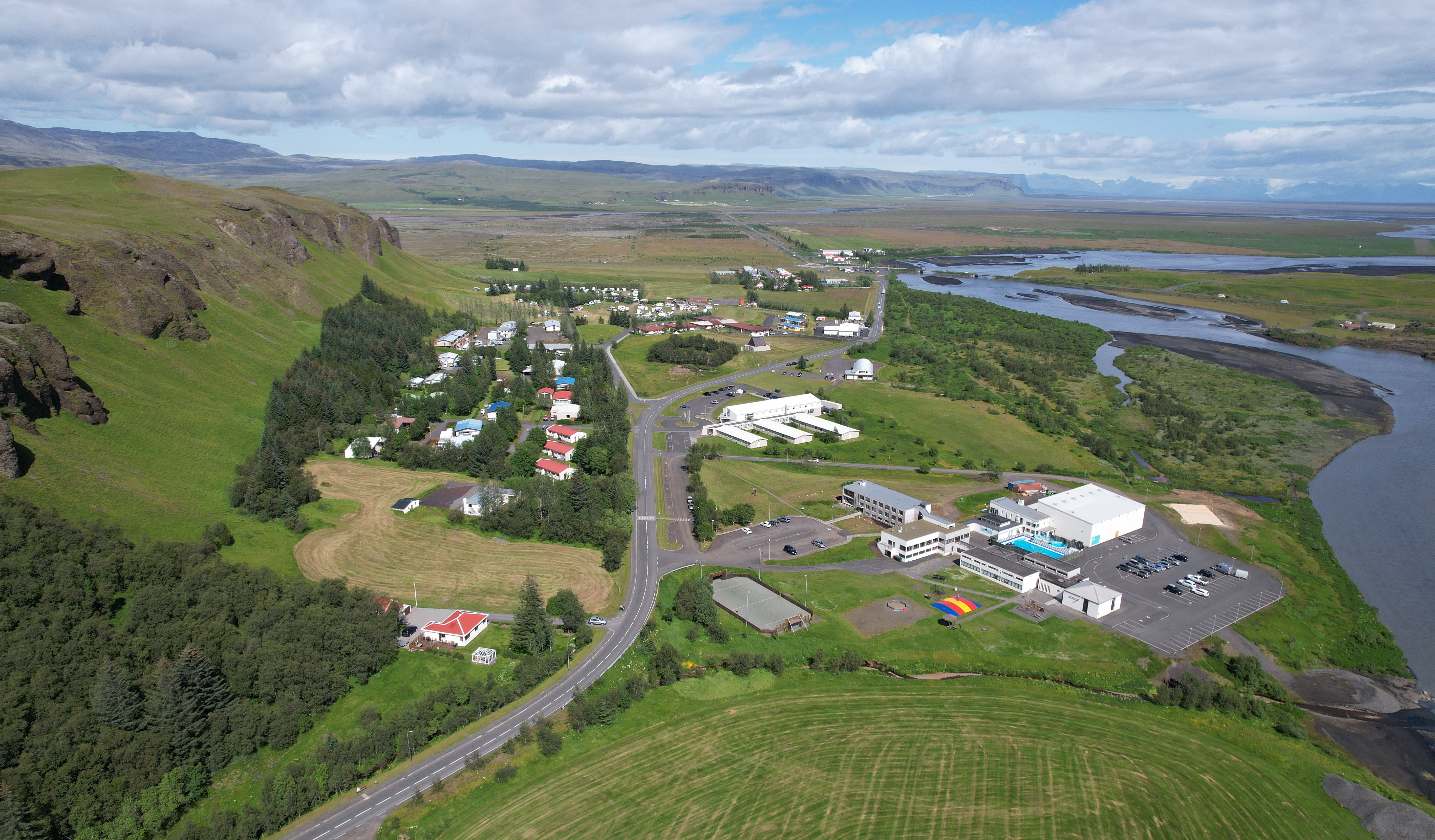
OVERVIEW
Kirkjubæjarklaustur — church farm cloister, known locally as Klaustur — is a village of about five hundred people in the south of Iceland, on the ring road between Vík and Höfn, surrounded by hills and plateaus. Irish monks are thought to have lived here even before the first Norse settlement. From 1186 until the Reformation in 1550 there was a well-known Benedictine convent here, Kirkjubæjar Abbey, and the place names still carry it: Systrafoss, the waterfall of the sisters, and Systravatn, the water of the sisters, on the highland above the village.
HISTORY
Folk tales tell the abbey's history through good and sinful nuns. Systrastapi, the sisters' rock, is the crag where two nuns are said to have been burned in 1343 — one for selling herself to the devil, mistreating the host and sleeping with men, the other for speaking ill of the Pope. The tradition is that the second was later found to have been innocent, and that grass and flowers grew on her grave and never on the other. In 1783 the Laki fissure erupted and the lava came down on the village; on 20 July the pastor and dean Jón Steingrímsson (1728–1791) preached what is remembered as the Fire Sermon, the eldmessa, and the lava is said to have stopped. The village was spared. The present church, built in 1974, is a memorial to him.
REPORTED ACTIVITY
Two traditions of judgement attached to one small place: a rock where the innocent grave flowered and the guilty one did not, and a church where a sermon is held to have turned a lava flow. Both are told locally as history. The eruption, its date, the pastor and the survival of the village are all documented; what stopped the lava is not.
VISITING
The village is on Route 1. Systrastapi is the flat-topped crag west of the village, with a path up; Systrafoss falls behind the village and Systravatn above them. Open country — take the weather seriously.
EXTERNAL RESOURCES
INVESTIGATION RECORD
0 GROUPS · 0 VISITS
No group has logged an investigation here yet.
HISTORICAL RECORD · 0 CITED ENTRIES
SIGN IN TO CONTRIBUTENo cited entries yet. Deeds, newspaper reports, census lines, photographs, ledgers — anything with a source.
COMMUNITY EVIDENCE
SIGN IN TO VIEWEvidence filed at this location — photos, recordings, documents, notes — is visible to signed-in investigators.
GROUP FINDINGS